RIYADH: As land degradation becomes an increasingly urgent environmental issue for Gulf nations, where arable land and permanent crops make up less than 2 percent of the total area, countries like Saudi Arabia are leveraging artificial intelligence to help forecast trends and guide decisions on land management and conservation.
The UN Office for Disaster Risk Reduction defines land degradation as the reduction or loss of land’s biological or economic productivity caused by human-induced activities, including deforestation, overgrazing and unsustainable agricultural practices.
Saudi Arabia’s Climate Envoy and Minister of State for Foreign Affairs Adel Al-Jubeir believes land degradation is driving the displacement of millions and destabilizing entire regions across the globe.
“When people cannot grow food, they migrate,” he told delegates at the COP16 summit in Riyadh on Tuesday.
“This migration often leads to tension and conflict in the receiving areas, creating a cycle of dislocation and violence. This is an issue that touches every aspect of our lives — food security, national security, migration, air quality and biodiversity,” he said, urging nations to collaborate on finding solutions to reverse environmental degradation.
Samer Al-Chikhani, a partner with the consulting firm Strategy& Middle East, believes the main cause of land degradation in the Gulf region is overgrazing, which has been linked to more than 90 percent of land loss.
“Land degradation affects 20 to 40 percent of land, with the world witnessing the loss of more than 100 million hectares of land each year between 2015 and 2019, roughly twice the size of Saudi Arabia,” he told Arab News.

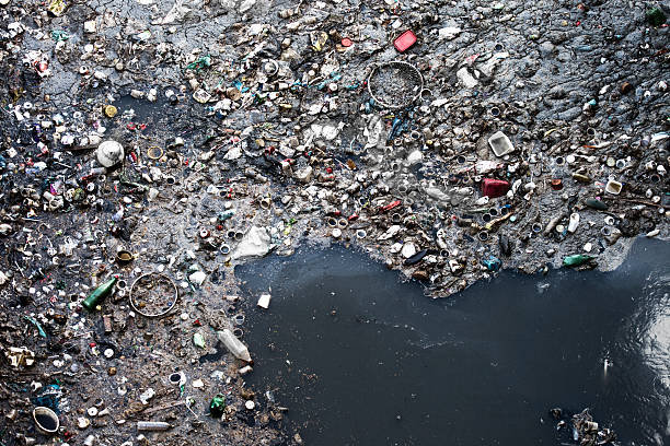
AI-driven models and digital twins could predict future land degradation trends by analyzing climate data. (UN)
Unregulated access to natural areas was another factor leading to “notable habitat damage,” he said, while “unsustainable agricultural practices contribute to soil degradation by causing salinization, erosion and loss of productivity.”
Meanwhile, urban expansion exacerbated land degradation by encroaching on natural habitats and diminishing the land available for agriculture, Al-Chikhani said.
“It is estimated that urbanization and human activities have led to the modification of 40 percent of the GCC coastline,” he said, adding that similar issues, including deforestation, forest fires, invasive species, drought and other climate impacts, also affected the Levant region and North Africa.
“The loss of healthy ecosystems affects communities that depend on the land for grazing, agriculture and other traditional livelihoods,” he said.
“Grazing is deeply tied to the Bedouin lifestyle, a defining feature of GCC history and culture. Healthy and thriving rangelands support the livestock sector, which contributes significantly to food security and rural economies.”
Moreover, as land degradation, erosion and salinization increased, land productivity declined, resulting in lower crop yields, Al-Chikhani said.
“For example, studies suggest that salinization has a negative effect on crop yields of up to 38 percent in Saudi Arabia. This impacts key produce such as dates and fodder crops.
“In the long term, land degradation weakens both the environment and the economy, posing a serious challenge to the region’s growth and stability.”
Land plays a crucial role in both adapting to and mitigating climate change, making the fight against land degradation all the more critical.
Al-Chikhani highlighted the emergence of AI as a powerful tool in land conservation and restoration projects worldwide.

In Saudi Arabia, “AI is being used to support the Saudi Green Initiative and identify optimal planting locations,” he said.
The Saudi Data and AI Authority has partnered with several government entities to harness AI solutions in support of the SGI, creating smart solutions for combating climate change. In pursuit of the SGI’s goal to plant 10 billion trees and rehabilitate 40 million hectares of degraded land by 2030, AI is used to analyze regional climate data, soil conditions and water availability to identify optimal planting locations and determine requirements for maximum efficiency.
By using satellite imagery and remote sensing technologies, Al-Chikhani said AI could analyze vast amounts of data to detect land degradation early and identify potential solutions.
AI-driven models and digital twins could predict future land degradation trends by analyzing climate data, rainfall patterns and land-use practices, enabling more informed decisions on land management and conservation, he said.
“Bespoke AI solutions adapted for the specificities of our Middle East environment can go a long way in restoring our degraded lands and reducing the long-term impacts of land degradation.”
DID YOU KNOW?
• About 40 percent of the world’s land is degraded, affecting more than 3.2 billion people.
• By 2050, crop yields in some regions could fall by 50 percent, increasing food prices by 30 percent.
• Investing in land restoration could yield up to $8 in benefits for every dollar spent.
(Source: UN Convention to Combat Desertification)
In the UAE, the Environment Agency of Abu Dhabi recently piloted AI and drone systems to assess soil quality and used AI-powered drone-seeding to help rehabilitate the emirate’s deserts and mangroves.
“AI-driven data analytics can transform decision making by generating precise, actionable insights regarding land management and automatically proposing potential solutions for areas that need interventions,” Al-Chikhani said.
“By consolidating data from satellites, drones, sensors and weather models, AI can help decision makers identify at-risk areas, predict future changes and recommend effective restoration strategies, enabling better resource allocation.”
In fact, the power of AI is being harnessed globally to address environmental issues.

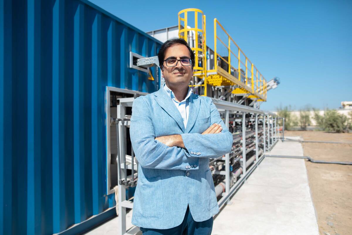
Samer Al Chikhani, Partner at Strategy& Middle East, part of the PwC network. (Supplied)
“MIT’s AI-Screening Reforestation Project uses AI to identify optimal restoration sites across the globe, based on factors such as current soil health, restoration potential and carbon capture potential,” Al-Chikhani said.
“In the Great Green Wall initiative in Africa, AI is being utilized to optimize tree planting locations and monitor soil restoration — in arid regions similar to the Middle East.
“AI tools are also being leveraged in Canada and Spain to predict and detect wildfires, hence supporting in combating deforestation.
“AI can also optimize agricultural water use by analyzing soil moisture, crop health and climate data, potentially reducing water consumption by 30 percent or more compared to traditional practices,” he said.
“In a region where agriculture accounts for 70-80 percent of total water use, this can significantly help reduce water waste and prevent groundwater depletion.”
The Gulf region, in particular, is in need of innovative, low-cost and water-efficient techniques for land restoration.
“This will be key for the successful delivery of large-scale greening programs with ambitious targets such as the Saudi and Middle East Green Initiatives,” Al-Chikhani said.

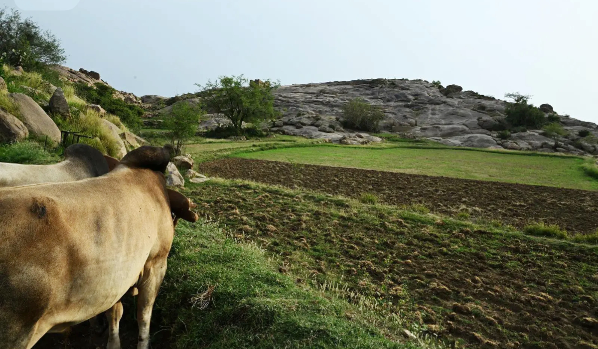
Land plays a crucial role in both adapting to and mitigating climate change, making the fight against land degradation all the more critical. (UN)
“Combining traditional knowledge with AI technologies offers a comprehensive approach to sustainable land management in the region.”
He highlighted the importance of engaging rural communities and the private sector, which should be supported by the development of practical, bankable business models.
“Advanced technologies, such as AI and satellite remote sensing, will accelerate progress, while cost-effective, water-efficient restoration techniques can also address local challenges at scale,” he said.
“It is important to empower ‘land champions’ and for all stakeholders to leverage platforms like the COP16 meeting in Riyadh, which are significant to spotlight the issue.
“Ultimately, sustainable land management will serve as a cornerstone for securing land and water resources, protecting biodiversity, building climate resilience and achieving lasting socioeconomic stability.”


